
Robinson Creek Trail- Mazama Washington


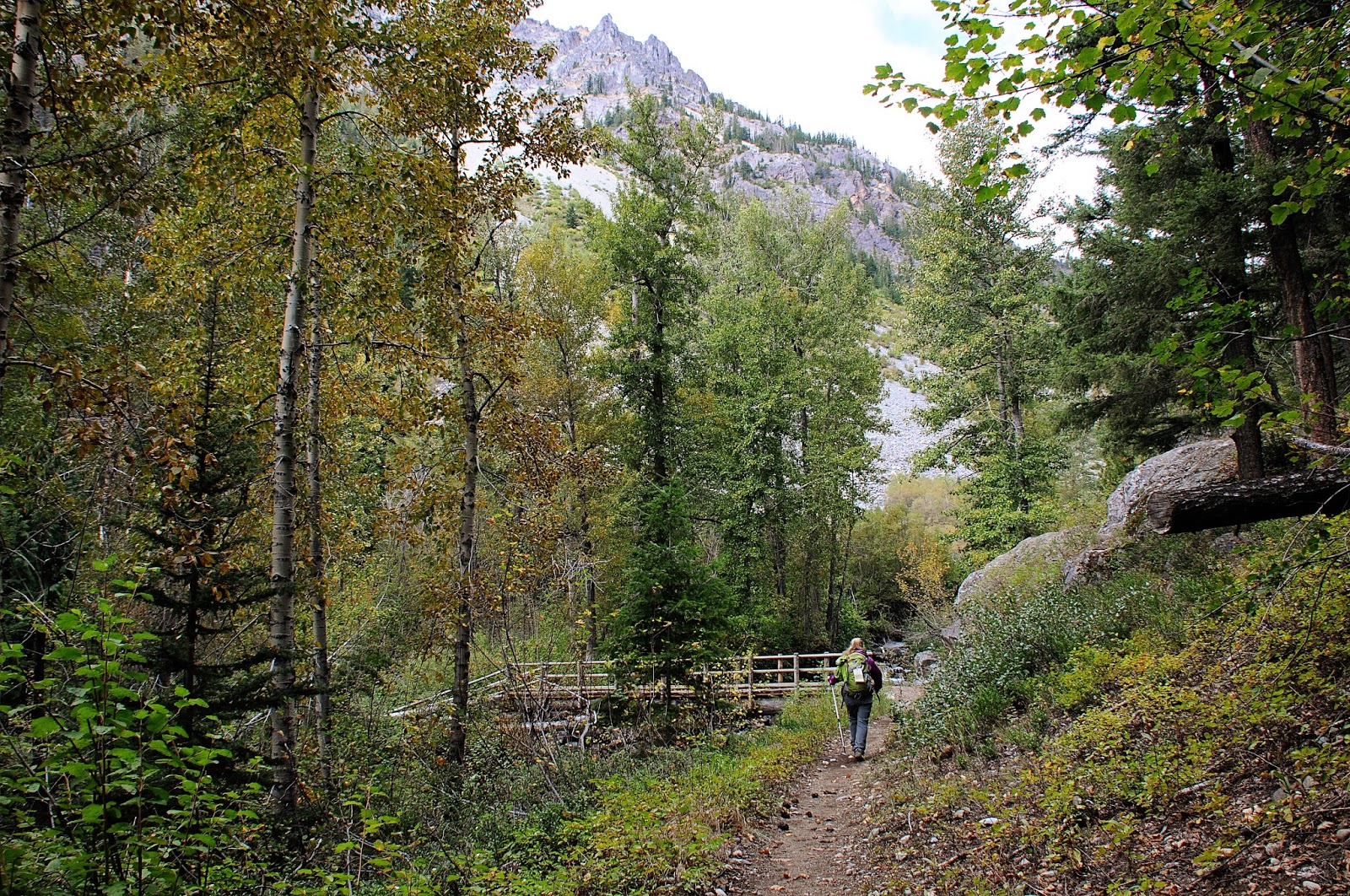
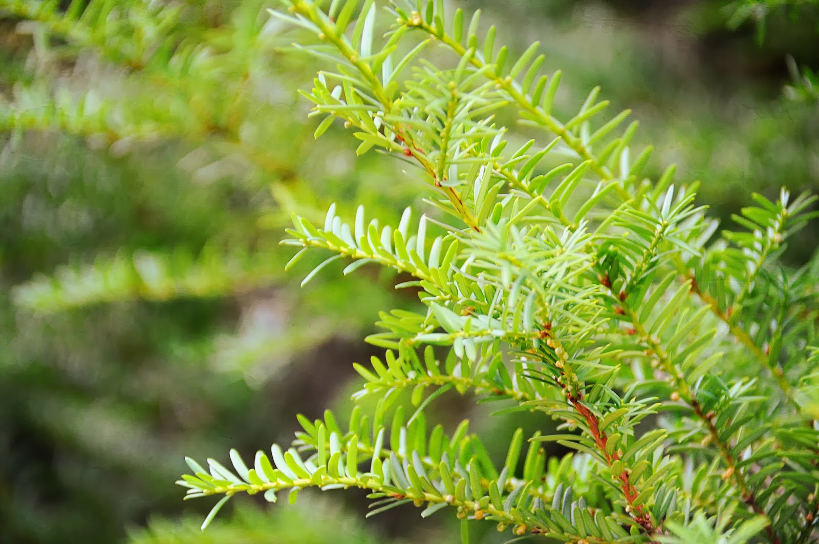
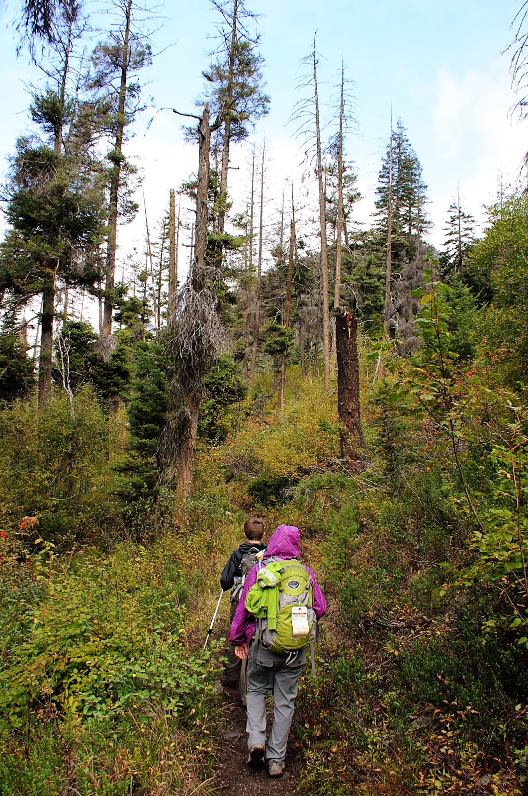
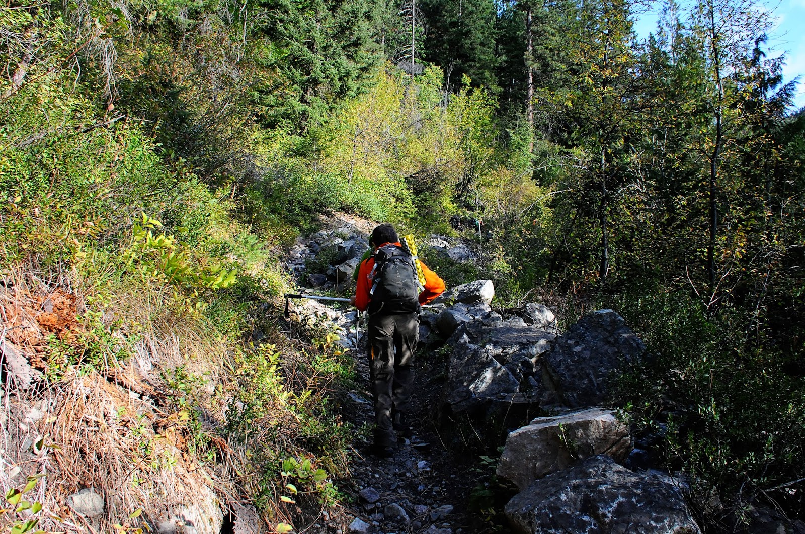
As we headed up the Methow bright and early, one hiker sleeping, we voted to change hiking trails. Originally we were going to hike Eureka Creek, a trail we have hiked before but not in the fall. So just a little farther up the dirt road we pulled into the Robinson Creek Trail Head. Oops I forgot it was the last weekend of high country buck hunt. Less than a handful of rigs in the parking lot, one horse trailer. We figured we would be fine, one hiker wearing orange. Not to far up the trail, four fully loaded hunters passed by us, not knowing where the Pasayten Wilderness boundary started I wasn't to sure how far we wanted to hike. Very polite folks, probably wondering why these crazy hikers were heading towards legal hunting area. The trail is obviously used by plenty of horses, some areas are fairly narrow at trail level and the weeds and brush get a little thick about waist high and very close to the trail. The trail is horse belly level maintained here and there. 2 Fairly good washout areas from all the rain. The trail has 2 very nice heavy bridges, built for lots of weight. Nice spots to just stand and admire the creek and views. A Few interesting mountain glimpse that make you want to go farther and check out more of the trail. We will leave that for another time when we have promise of good weather. As soon as we crossed into the Pasayten Wilderness the rain started and some fog rolled in. Every now and then the clouds would break up and we would catch a glimpse of some blue sky. The fall color wasn't the best, the large amounts of rain kinda ruined some of the color and maybe just a tad early for this area. Lots of berries red and purple a few white. Beauty Creek Falls which is at the 2nd bridge was a pretty site, I can imagine in the spring it would be even more spectacular. From here I couldn't convince my hiking partners to continue farther up the trail, so we meandered our way back to the truck, ate lunch in the parking lot. By this time the rain had moved on and the temperatures were lovely. Back down the Methow for a Blue Star Coffee and home for a nap. It was a lovely short hike even in the rain, I am not a rainy day hiker but this day turned into a great day with only a few damp spots.

Comments

Popular posts from this blog

North Cascades Hwy 20, Snowshoeing

Since we don't take snowshoeing very serious and it's just another way to get out in the great outdoors and have some fun, we snowshoe highway 20 from the parking area up the pass quiet often.  It is a busy snowmobile area, but if you just be aware of whats going on around you, it is safe.  There is so much room to have fun, snow covered slopes, snowshoe up the road, or venture off the road.  It is a gradual climb up the road, we never get very far before we run out of gas and are ready to head back down.  I would love to some day take a snowmobile to the top of the pass...and snowshoe....I keep dreaming.  This is a easy location to just get out, stretch your legs and enjoy the fresh winter air.  I have always been a little bit apprehensive about  snowshoeing where there is snowmobile activities, but so far we have met only super polite folks and very respectful to keep their distance of folks snowshoeing.

Yellow Jacket Sno-Park.......................

December 29th, 2012 came along with some beautiful weather in the Mazama area....broken blue skys and a nice 21 degrees.....with my little brother and his wife up visiting through the holiday season we ventured out to play in the snow.....We originally headed up to snowshoe the Cedar Creek trail....but Hwy 20 wasn't plowed past the first sign at the bottom.....and when we came across the Early Winters bridge we could see trucks and cars parked on both sides of the road....somewhere between 25-40 rigs.....lots of snowmobile trailers.....we decided that we needed to locate another snowshoeing spot with a little less traffic since my brother wanted to do a little snowboarding if possible......so we headed to Yellow Jacket Sno-Park....Large parking area with just a few vehicles parked....we strapped on our gear and headed up the trail....nice easy hike up a groomed snowmobile track....lots of places to step off the trail and explore...we pretty much stuck to the trail on the way up.....

Enloe Dam-Simiklameen River

While we were up in the area hiking Whistler Canyon Trail, near Oroville we decided to take a side trip and visit the Enloe Dam....WARNING.....The road down to Enloe Dam requires a high clearance vehicle....we did make it in a Chevy Equinox....but I would not recommend it...SCARY....and hard on the nerves....Without good directions and a confusing map we got turned around in Oroville...figured our our location and headed towards the Simiklameen River....Beautiful river....green in color and winds its way through the valley....Enloe Dam Road is well marked with a sign on the right...road on the left...the first section is not terrible....the bottom section I would not do again in anything but a 4x4 rig.... explored the trail that follows the river down past the dam towards the power house.....very nice place to visit...it is really to bad the road is in such terrible shape....I would imagine that it gets its fair share of people that stop and sight see....from there we continued up t...